
Connecticut Street Searches Start at Town
A Connecticut street search follows a local chain. First confirm the town, then use the street address to reach the assessor, parcel map, clerk's index, and permit record. Connecticut has 169 municipalities and no active county recorder, so a road that crosses a town line can lead to a different clerk or portal. Keep the municipality and street address together from the first search.
These records show different parts of a property trail. The assessor names the recorded owner and tax fields; a GIS viewer links the address to a parcel; the clerk indexes deeds and maps; a permit file dates building work. Voter records have a separate purpose and are not an open list of everyone on the street.
- Normalize the address, town, road name, and unit with the USPS lookup; use it to check mail format only.
- Search the municipal assessor by situs address or parcel, and copy the owner, parcel ID, map or lot, and mailing fields.
- Open the town or statewide GIS viewer, select the parcel, and save its ID and legal description for deed work.
- Search the Town Clerk index by current and prior owner, both grantor and grantee, then follow the recording reference.
- Check building records by address, using the right portal period and every record format the town lists.
- For a past household, use the library's street listings; if an online record is missing, ask the clerk or agency for its terminal, mail, or request route.
The result is a street-by-street property history, not proof that a named owner currently lives on the parcel. A tax mailing address may belong to a trust, representative, or distant owner, and a parcel record does not list all household members.
Connecticut Street Search Fields
Municipal assessor systems often use Vision or Avitar software, but each Connecticut town sets its own fields and labels. The OPM Parcel and CAMA layer can help with a cross-town search; it does not replace the local assessor or clerk. The field list below gathers the verified controls for assessor, GIS, land-record, and building searches so that an address trail can move from one system to the next.
| Portal field or control | Type | Required | Options and street-search use |
|---|---|---|---|
| Owner name | Text/autocomplete | No | Town portals may accept surname, trust, or entity variants; owner search is not universal. |
| Street number and name | Text/number or dropdown | No | Use the situs address; units, suffixes, and old road names can affect a match. |
| Town or city | Dropdown/profile | Yes for statewide data | Local systems fix one town; statewide data uses Town Name. |
| Parcel/account ID or GIS PIN | Text/result | No | Connects the map, assessor card, deed, and permit record. |
| ZIP and property class | Text/filter | No | Available only where a local system supports it; ZIP is not a town boundary. |
| Map, lot, block, or subdivision | Text/result | No | Bridges older deeds and plats when the street address is missing. |
| Assessment year, value, and exemptions | Year/filter/result | No | Year coverage, valuation, and tax indicators vary by town. |
| Address search/geocoder | Text | No | GIS tool that zooms to an address or street segment. |
| Parcel click/identify | Map tool | No | Selects a polygon and returns parcel or owner join fields where public. |
| Parcel boundaries, roads, and address points | Map layers | No | Show adjacent lots and the road/address link; the road line is not a legal boundary. |
| Zoning, flood, wetland, and district layers | Toggle layers | No | Provide map context, not proof of legal use or household identity. |
| Select, measure, buffer, and print | Map tools | No | Tools vary; where no buffer exists, click adjacent parcels by hand. |
| Town profile and land-record module | Dropdown/tab | Yes for town portal | Choose a participating municipality and available land, map, or trade-name index. |
| Party/grantor/grantee name | Text | No | Search both sides of a deed and try spelling variants. |
| Document type | Town-defined dropdown | No | Deed, mortgage, lien, release, map, or other town-indexed record. |
| Book/page, document number, or date range | Text/date | No | Use a recording reference when known; date controls and coverage vary by town. |
| Image, print, and download controls | Button | No | Guest access may show only the index; image access can require payment. |
| Stamford record format | Text/category | No | Search Building Permit, PayDay, Street Files, CO, and COC formats. |
| Stamford address or parcel ID | Text | No | Use the property address or assessor parcel when units or variants cause a miss. |
| Stamford online or onsite route | Access mode | No | Municipal Search Database before October 2013; ViewPoint Cloud afterward; public computers are available onsite. |
| Stamford record request | Email/phone | No | Give document type, address or parcel, and contact details; paper copies may have a fee. |
Save the parcel ID and source date with the street address. Connecticut town data can vary by regional COG, so a cross-town match should be checked with the local assessor before following a deed.
Connecticut Parcel Records and GIS
The Connecticut GIS Office provides a statewide Parcel and CAMA starting point, while towns maintain their own parcel viewers. A map can show a parcel polygon, road, address point, map identifier, and adjacent lot shapes. Hartford's public parcel viewer links the map to fields such as parcel number, owner, mailing address, ZIP, land use, and living units. The actual fields and map tools vary by town.
A Hartford viewer click can reveal a geometry and a parcel record, but its land-use and building-use codes are not proof of legal compliance. The city's Hartford parcel layer documents its fields. Zoning, flood, wetland, school, or district layers add context; they do not identify every person on a block. To follow a Connecticut street, save each parcel number before moving to the next polygon.
A Hartford parcel result has a specific set of fields. The official layer and a sample field card can show:
- GIS PIN, parcel number, and account number.
- Street number and name, condo number, city, state, and ZIP.
- Owner name and mailing address fields.
- Assessor land use, living units, and parcel geometry.
- Map, block, lot, building sequence, and data date on a field card.
- A suppressed owner may appear as “Current Owner,” with the parcel location used as the mailing address.
The GIS layer is a location aid, not title proof or a list of everyone who lives at that Connecticut address.
Connecticut Land Record Portals
Each Connecticut Town or City Clerk records the land documents for that municipality. Search the current owner as grantee, then search the seller as grantor to move back through the deed chain. An old deed may name a map, lot, or legal description rather than a modern street number, so retain the parcel reference from the assessor. A portal-level sample record inventory may include:
- Indexed grantor and grantee names.
- Instrument or document type and recording date.
- Book and page or another recording reference.
- Town profile and image availability.
- Map or trade-name linkage where the town supplies it.
For current towns on Cott Systems, open RECORDhub and check whether the municipality has moved there. The portal is transitioning from the older system, and town coverage differs.
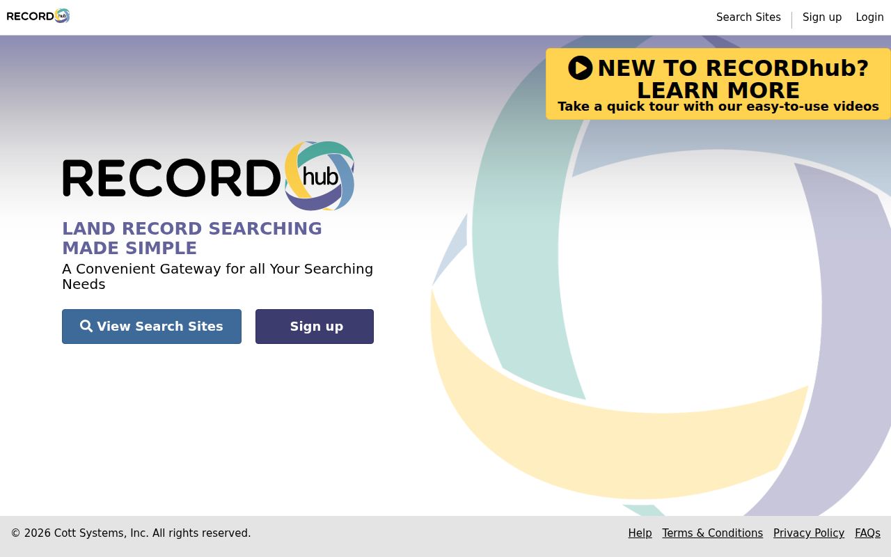
The image shows the current portal route; confirm the town's access mode and record years before paying for document images.
The legacy Connecticut Town Clerks Portal offers a free guest index for participating towns, while images may require a paid subscription or clerk request. A town profile determines which indexes and years appear.
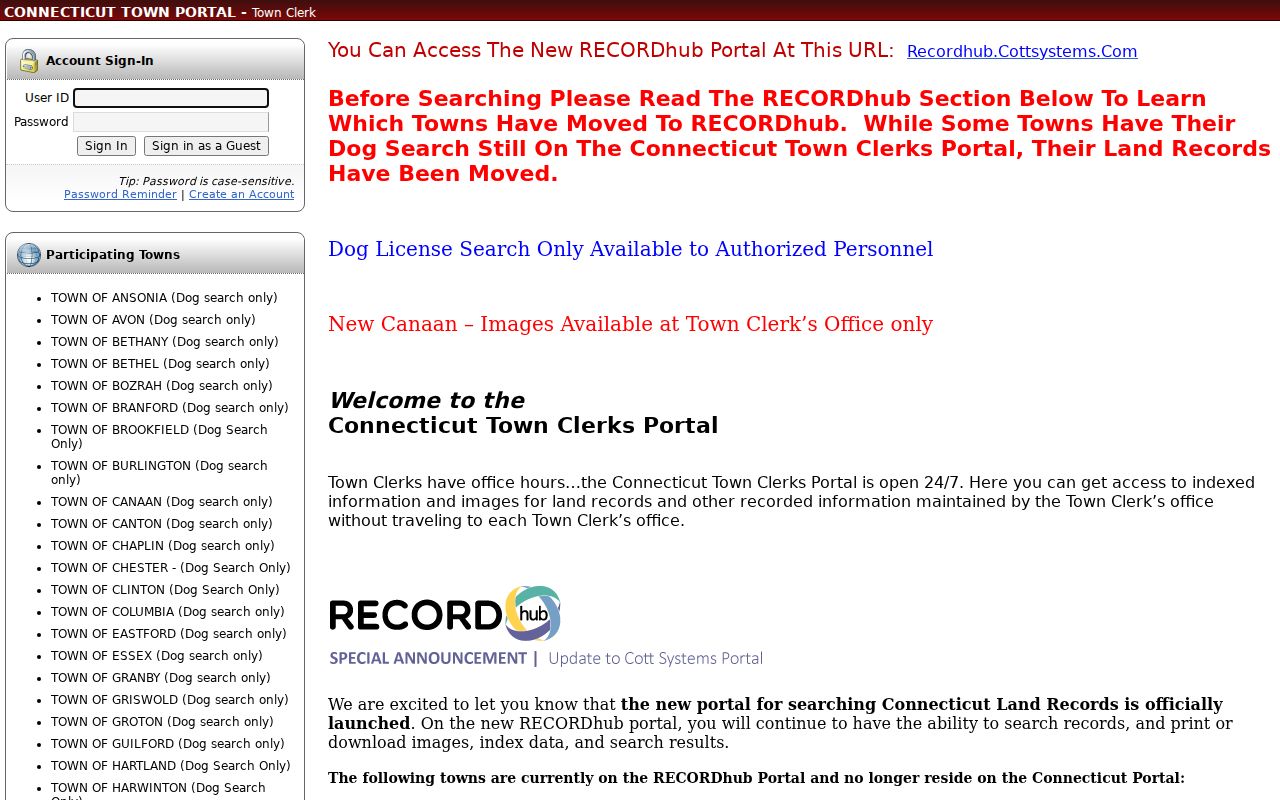
If an image is absent, call or visit the town clerk, ask for its public terminal, or send a mail request with town, party names, instrument type, and a book or page reference when known. A copy from the clerk is the record to use when the document itself matters.
Address Records Across Connecticut Streets
Connecticut street-by-street research joins records held by several custodians. Use this coverage table to choose the right source for each parcel; the same name or address can be handled differently by a clerk, assessor, or registrar.
| Record | Connecticut custodian | Street-level detail | Access route |
|---|---|---|---|
| Grand List and assessor card | Town or city assessor | Owner, parcel, situs and tax-mailing fields | Local portal, counter, or record request |
| Parcel map and GIS | Municipal viewer or state GIS layer | Parcel shapes, IDs, roads, and public owner fields | Public map; tools vary by town |
| Deeds, liens, and maps | Town or City Clerk | Recorded parties, transfer dates, and legal description | Town portal, terminal, mail, or paid image |
| Permits and certificates | Municipal building department | Work, inspection, or certificate history by address | Town portal, onsite computer, or request |
| Voter information | Town registrar and Secretary of the State | One person's status; not a public street roster | Personal lookup; restricted full-file request |
| Street listings by year | Library or archive | Historical name and address entries in covered years | Print, microfilm, catalog, or library visit |
A parcel number is the strongest bridge between Connecticut assessor, map, deed, and permit systems. Save it with the source name and date, because online indexes can have gaps and town data can change. Voter information should be used only for its allowed election purpose; it is not a way to enumerate all households along the road.
Connecticut Permit Records by Address
Stamford shows why a Connecticut street search needs the town's own date rules. Historical permits, certificates of occupancy, and certificates of completion from 1950 through October 2013 are in the Municipal Search Database. Later records are in ViewPoint Cloud. The department says to search every relevant format: Building Permit, PayDay, Street Files, CO, and COC. A field card from the assessor can help narrow an address or parcel before using either system.
Search online or at public computers in the Government Center customer-service area. If a record is missing, send the Building Department the document type and address or parcel ID, or call (203) 977-4164. The department lists buildingdept@stamfordct.gov for written requests; paper copies may have a fee. This is a Stamford example, not a statewide portal rule. Other towns set their own systems and cutoffs.
The public page describes permit type, property address or parcel, historical permit, certificate records, field-card path, and online cutoff, but did not expose a sample person record without a live address search. A blank result should lead to the building office or the town's other search format.
Connecticut Voter Data by Street
The Secretary of the State's online lookup is for one person to check registration and polling place. It is not a public browse-by-street page. Connecticut's full statewide voter file requires a written request to LEAD, costs $300, comes as a CSV, and is limited to election-related, scholarly, journalistic, political, or governmental use. A person cannot use that file as a general neighborhood directory.
For an individual status question, use the official voter registration information route or ask the town registrar how to check a record. A released voter file can include a name, residence, municipality, party, status, year of birth, participation history, and precinct information, but not ballot choices. Month and day of birth are exempt, and protected people may be omitted. An inactive status is an election record, not proof that someone moved.
Connecticut Postal Records and Town Lines
Connecticut uses local government for address points and street numbering, while USPS controls mailing standards and ZIP delivery areas. A recognized postal city can sit outside its town line. Names such as Cos Cob, Bantam, Niantic, Pawcatuck, Storrs, Tariffville, or West Redding may be familiar as delivery places, while the assessor and clerk follow the legal municipality.
The USPS lookup offers address-to-ZIP, city-and-state-to-ZIP, and cities-by-ZIP modes. Its result checks delivery format; it does not prove a person or company is at the address. Confirm the town with an assessor parcel or municipal address map before searching deeds. If a road was renamed or renumbered, ask the town clerk, planning or engineering office, and assessor for an old-to-new crosswalk, road record, or subdivision map. No statewide ZIP realignment history was verified.
Historical Connecticut Street Listings
Street directories can show a historical run of names and addresses, but only for their publication years. Bridgeport's official finding aid dates its city-directory series from 1855 through 1990, with street listings beginning in 1895. This gives a researcher a way to follow an entire Connecticut block in a past edition, then compare the street with a census or map.
Runs for Hartford, New Haven, and other towns have gaps. Local libraries may hold print volumes or microfilm, and the State Library catalog can point to town-specific series. For the collections and entry formats themselves, see the Connecticut city directory collection guide. Keep a directory address tied to its year and map because older place names and numbering can differ from current street records.
Connecticut Street Record Terms
Several terms recur when a Connecticut street-record search moves from a map to a deed or old listing. Their meaning helps keep a public record from saying more than it does.
- Parcel
- A mapped piece of land or unit with an assessor identifier.
- Situs address
- The physical address assigned to a parcel, distinct from an owner's mailing address.
- Plat
- A recorded or filed map that shows lots, boundaries, and related land descriptions.
- Criss-cross directory
- A historical directory section arranged by street or address, rather than by name.
- Legal description
- The written land description used in a recorded instrument, which may not include a modern street number.
When a street number is missing from an older Connecticut deed, map and lot references can link the document back to the parcel.
Connecticut Street Address Privacy Records
Some Connecticut records hide or replace a residential address for safety or legal reasons. Safe at Home assigns eligible participants who have moved or plan to move a substitute address and forwards first-class mail. A separate voter privacy program can withhold a name and address when disclosure would endanger a person or family member. Certain officials can also request redaction under state law.
OPM's statewide parcel data can identify a suppressed owner as “Current Owner” and use the parcel location as the mailing address. A blank field is not a reason to seek a protected person's real location. Check the Safe at Home program details and respect the record's limits.
Limits on Connecticut Street Searches
This street-by-street search can identify property owners or people recorded in a particular source, but it cannot show every person who lives at an address. A deed records a transaction, an assessor lists ownership and tax fields, and a voter lookup serves an election purpose. None is a full occupant roll. Utility, delivery, or customer files are not open resident records, and personal motor-vehicle information is protected by state and federal law.
For lawful address research, confirm a parcel or deed with the town clerk and stop when a source is protected or does not answer the question. The state FOI process provides access to existing non-exempt records; it does not create a list of private household members.
Lawful use. Connecticut records are for lawful personal research. Using address information to follow, monitor, threaten, or harass a person can violate state law.