
What Connecticut Neighbor Records Show
A block search in Connecticut is a set of property and public-record lookups, not a roster of everyone who lives nearby. Start with the municipality, because each of the state's 169 towns and cities sets its own parcel, assessor, and clerk systems. A public GIS map can show which parcels touch the address. The local assessor can connect each parcel to an owner and tax mailing address, while the Town or City Clerk keeps deeds and map records. Those entries concern land or a filed act. They do not prove that the owner lives there or name every person in the building.
| Source | What It Shows About a Block | Access |
|---|---|---|
| Municipal GIS parcel map | Parcel shapes, nearby lots, and owner fields where the town exposes them | Public viewer; fields differ by town |
| Assessor or CAMA record | Owner, parcel ID, situs and mailing addresses, values, and land-use fields | Town assessor portal or counter |
| Town Clerk land index | Recorded deeds, maps, liens, and party names tied to a parcel | Town portal, clerk terminal, or copy request |
| Registrar and voter record | Individual voter status online; broader fields only through a restricted file | SOTS lookup or qualifying written request |
| Building and permit files | Permits, inspections, and certificates recorded for an address | Municipal portal, counter, or records request |
| Historical directory or group page | Past address links or a public community contact, where published | Library, archive, or group website |
The distinction matters on a shared block. A parcel may be a condominium unit, common land, a mobile-home lot, or a public right-of-way instead of a separate household. A tax mailing address can point to an owner who lives elsewhere, a trust, or a representative. Treat these sources as a way to understand the land and its official records, not proof of who occupies a home. For the complete record chain along a named road, the Connecticut street directory walkthrough follows address-keyed records in more depth.
Connecticut GIS Starts With the Town
Connecticut does not have one municipal parcel viewer with the same tools everywhere. The state's GIS resources point to statewide parcel and CAMA data as well as local map services. Open the town's viewer when available, since local layers may include address points, parcel numbers, road lines, and owner fields that a statewide view does not display. The Hartford Property Viewer is one municipal example. Its map lets a reader search an address and select parcel shapes, but its land-use and building codes do not certify legal use. Map layers help locate records; they are not a survey or title opinion.
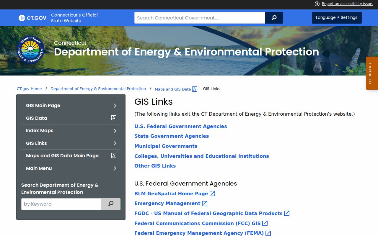
Connecticut's official municipal GIS link list shows why a town-first search is practical: viewers are spread among local governments. The directory itself is a starting point, and each municipality controls the details behind its map.
Once you reach the right town viewer, save the parcel identifier as well as the street address. The identifier can carry the search into the assessor and clerk systems even when a road name or unit label has changed.
Map Connecticut Neighbors Parcel by Parcel
Use the map to move from one known address to the parcels around it. Hartford's public parcel layer is a clear Connecticut example: it exposes parcel geometry with fields such as parcel number, owner, mailing address, ZIP, land use, and living units. A town viewer may show fewer or different fields. Where a viewer has no buffer tool, clicking the touching polygons one by one is the fallback. Save each parcel number before reading an owner field, so a shared drive, common parcel, condo unit, or right-of-way does not look like a separate household.
- Confirm the street number, street name, town, and unit with USPS if the mailing format is unclear.
- Find the address in the municipal map, select its parcel, and record the parcel ID, map or lot reference, and legal description.
- Select parcels that touch the lot or face the same short road segment. Note land use and living-unit fields, but do not treat them as a people list.
- Open each parcel in the assessor system, then use the Town Clerk index if a recorded deed or map is needed.
The map and assessor are online discovery tools. For a deed image or older map, check whether the municipality uses RECORDhub or the legacy Town Clerks Portal, then ask the Town Clerk about a public terminal or a paper copy if the year is absent online. Parcel IDs are the best bridge when old documents lack a modern street number.
Connecticut Voters Are Not a Block Roster
The Secretary of the State's public lookup is for an individual to check registration and polling-place details. It does not let anyone browse every voter on a block. A broader voter file is available only by written request to the SOTS LEAD unit, costs $300, and comes as a CSV file. The permitted uses are limited to election-related, scholarly, journalistic, political, or government work. The file cannot be used as a general neighborhood directory, and protected voters are not exposed through the public route.
Connecticut's Voter Registry Privacy Program lets a person ask that their name and address be withheld when disclosure could put them or their family at risk. Safe at Home participants receive an address substitute, and some public officials may obtain address redaction under state law. A status check or an absent address should never be treated as a complete account of who lives nearby.
Connecticut Group Pages Offer Contact, Not Rosters
Community organizations can add local context to an official map, but Connecticut has no central public register of neighborhood associations or their members. Town planning, neighborhood revitalization, or community pages may list a district boundary, a meeting, or a public contact email. A regional Council of Governments can help identify the local planning body. These are ways to reach a group, not ways to obtain its members' home details.
| Town or city planning page | Look for neighborhood, NRZ, or association meeting contacts and mapped areas. |
|---|---|
| Public library or local history room | Ask about community newsletters, town files, maps, and neighborhood history. |
| Association's own public page | Use a published contact or meeting notice; do not expect a private member roll. |
| Regional Council of Governments | Use regional planning links to identify the municipality's civic channels. |
No complete statewide list of Connecticut neighborhood groups or public member directories was located in the research. If a town page does not name a group, the library or municipal planning office is a sensible next contact.
Postal ZIPs Can Cross Connecticut Town Lines
A Connecticut ZIP code follows mail delivery rather than the boundary used by a Town Clerk or assessor. A recognized postal city can sit outside its named municipality, and a village or post-office name may be more familiar than the town that holds the parcel. USPS has separate lookup modes for a street address, a city and state, or a ZIP code, but its result does not show that a person or business is at that address. Use the parcel's town name to choose the correct clerk and assessor after the postal format is confirmed.
This geography is easy to miss on a small block near a town line. A ZIP search can help sort mail areas, but a parcel map and the legal municipality decide which public office has the land record.
Connecticut Permits Date Work, Not People
Building permits and certificates of occupancy can show that work was recorded at an address. They are useful for understanding changes to a building, but they do not name every neighbor or current occupant. Stamford's inspected system illustrates why searchers should check more than one municipal portal: its historic Municipal Search Database covers 1950 through October 2013, while later records are in ViewPoint Cloud. Search all listed formats, including Building Permit, PayDay, Street Files, CO, and COC. If an item is missing, the Building Department accepts a written inquiry with an address or parcel ID.
Other Connecticut towns use their own systems and retention dates. A public access computer at the municipal counter, a phone call, or a written Freedom of Information Act request may be needed for an older or unindexed item. Never treat a permit applicant as proof of current residence.
Compare Official Connecticut Block Sources
Official records are best for checking a defined fact, such as a parcel number, recorded owner, deed, or permit. Commercial neighborhood tools combine data from several places, but a summary can be stale, join two people with the same name, or omit the context attached to an official record. Neither kind of source proves that an owner occupies a home or that every household member is known.
| Source | Useful for | Limit |
|---|---|---|
| Town parcel map and assessor | Parcel shape, owner entry, situs and tax-mail address | Owner fields do not list all occupants |
| Town Clerk deed index | Recorded parties, maps, and title history | Town coverage and image access vary |
| Community contact page | Meeting or neighborhood organization contact | Not a public membership roll |
| Commercial neighbor-search category | A broad lead across compiled sources | Freshness and identity matches may be uncertain |
Privacy Limits for Connecticut Neighbor Lookups
A neighbor lookup does not reveal everyone who lives at an address. Connecticut DMV address and phone records are closed by state law and the federal Driver's Privacy Protection Act. Utility and delivery customer files are not public household lists. Family, juvenile, sealed, and protected-address records also have limits. The state and municipal maps may suppress the names of people entitled to address protection. If an online source returns nothing, do not use another source to work around a privacy rule.
Use property and community records for a lawful purpose, such as learning about nearby parcels, reconnecting with a former neighbor, or checking a claim tied to a property. Connecticut stalking and harassment laws apply to unwanted monitoring, threats, and repeated contact; C.G.S. §§53a-181c, 53a-181d, 53a-181f, and 53a-183 cover those offenses. Public access does not grant permission to watch, intimidate, or harm a person.
Lawful use. Keep a Connecticut block search focused on property questions, family history, or a welcome reconnection. Do not use record leads to stalk, harass, intimidate, or harm anyone.